Prespa trails
Prespa trails
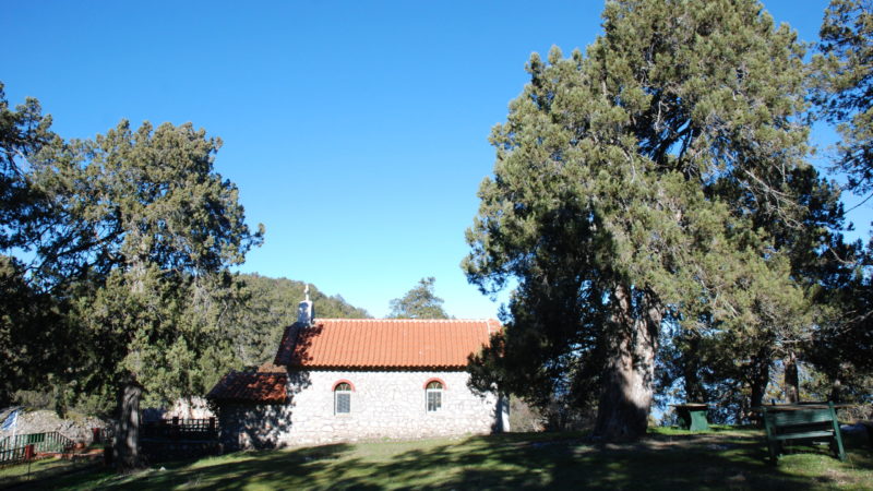
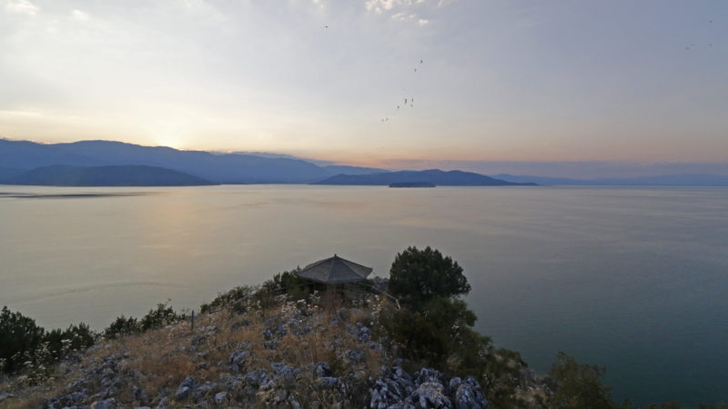
The most interesting side of Prespa you will see it by walking its hiking trails. Visit the most fabulous places, listen to the birds singing, enjoy the wonderful view of the point where 3 countries meet at Great Prespa lake, see butterflies and rare plants, visit abandoned settlements and Byzantine monuments, discover the eerie ascetics. Choose one of the 4 suggested trails below to find out more information. *Alternatively, download the PRESPA TRAILS mobile navigation app. The suggested trails are based on the ecotourism guidebook "Prespa, Nature and History Trails", prepared by the Prespa Conservation Society with funding from the Aage V.Jensen Public Benefit Foundation. The mobile navigation app was designed within the framework of the Poliprespa project (2018-2022), which was implemented by local stakeholders in the National Park of Prespa with a donation from the Stavros Niarchos Foundation (SNF) and co-funded by the Prespa Ohrid Nature Trust and all local stakeholders.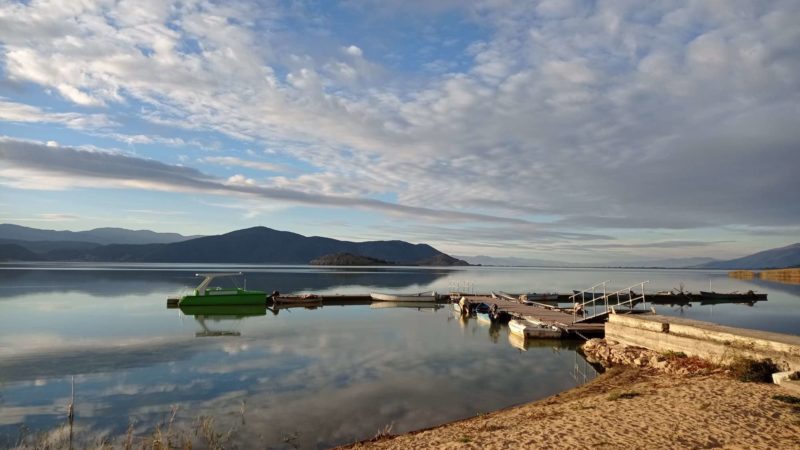
DIFFICULTY Easy to medium
DISTANCE 9,3 km
DURATION 3,5-4 hrs
ALTITUDE DIFFERENCE 129 m
DIFFICULTY Medium
DISTANCE 5 km (short route) or 11,4 km
DURATION 2 hrs (short route) or 4-4,5 hrs
ALTITUDE DIFFERENCE 120m (short route) or 314m
DIFFICULTY Easy
DISTANCE 5,2 km
DURATION 2 hrs
ALTITUDE DIFFERENCE 49m